Meeting with Jenichka and Daniel in Christchurch, off to Arthur’s Pass area. They are our guides to tramping in the area (and our inspiration for food to take on tramps!).
So, suddenly (got it? in Sudden valley?) we were off to a one overnight camp. A bit more than an hour drive from Christchurch, we reach the base of Hawdon Valley and leave the car at the shelter/campsite.
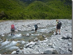
First things first, be ready to be cooled down with the Hawdon river crossing!
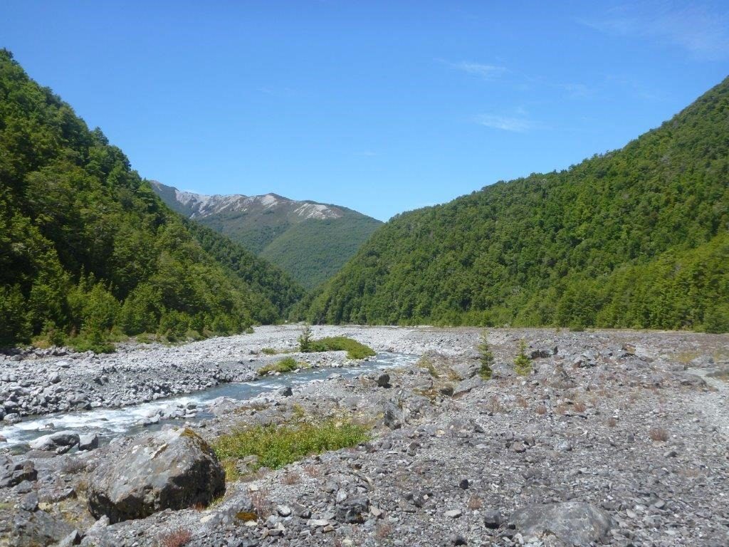
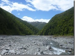
Following the valley on the left, coming suddenly: Sudden valley stream. And this is our track: following the stream all the way to the hut. Well in this case, the hut is a bivouac (mini hut for 2 people).
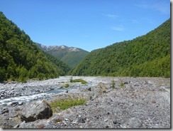
Hawdon Valley
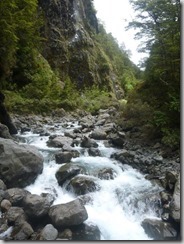
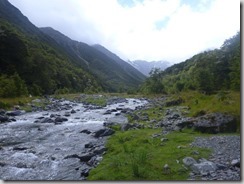
Sudden Valley, that suddenly gets narrower
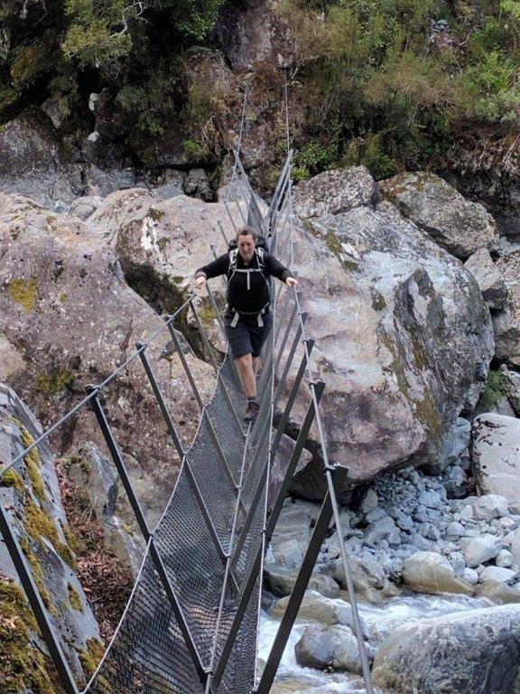
The stream is pretty strong, glad it’s only a stream. We keep crossing it, walk near water falls, the valley becomes really narrow.
The track at some point makes its way up a steep scree slope and then through the forest down near the river. This path avoids a water fall (called Barrier falls) on the stream.
We practiced our first group safe river crossing: the stream looked stronger than it was so it was probably unnecessary but it’s better this way!
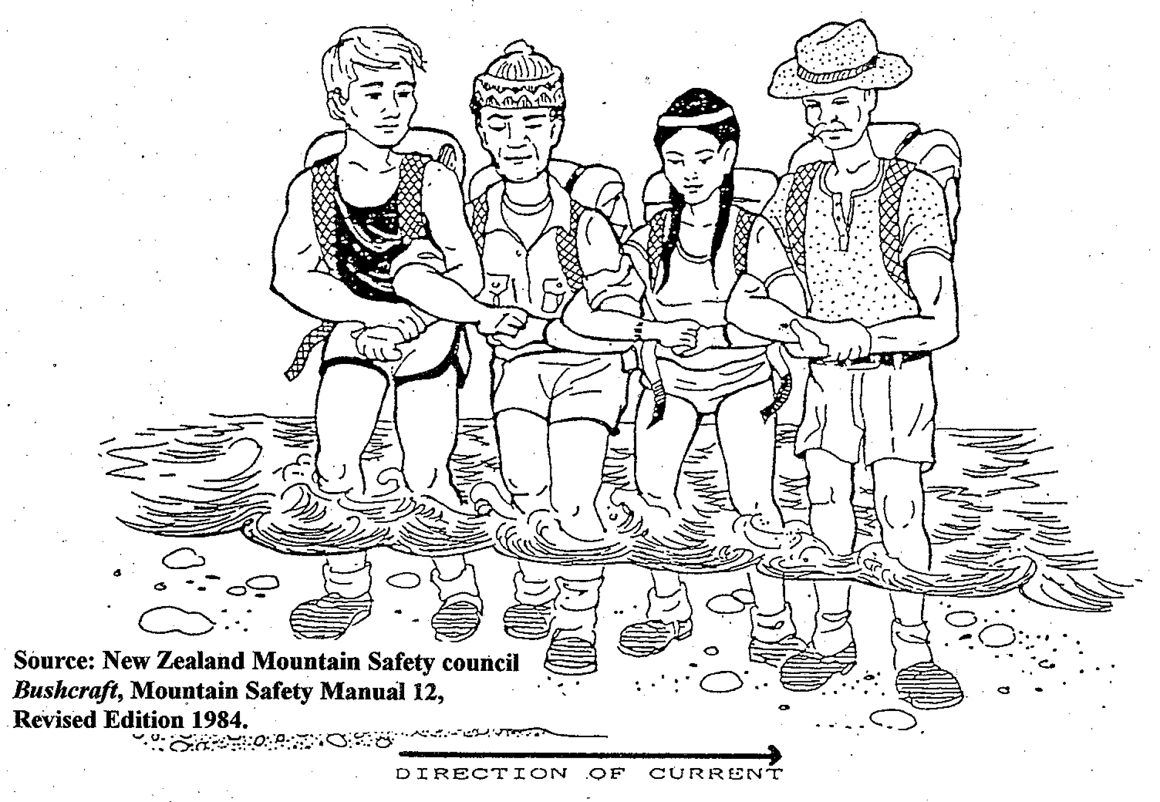
that’s how we did it!
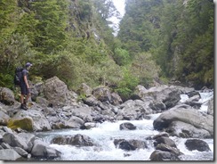
It was quite challenging sometimes to find the ‘”track” or the right way (there is not really a track) to make sure we didn’t end up swimming in the cold stream! Hoping from rocks to rocks, we made it to a wider part of the valley, still crossing multiple times the stream. We found the bivi, small, cute and fairly new. We pitched our tents in the forest and had a fancy risotto dinner! Thanks to Daniel for carrying the heavy cast iron pan in his backpack!
A couple of stream crossings, some of them taking time to find which route to use.
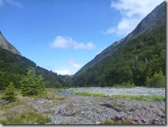
Sudden valley opens up suddenly and is easier to walk through
Breakfast was our first with toasted English muffins splits filled with peanut butter or cheese. Yummy! Perfect start for the day.
We talked about coconut oil to have for tramping – as it is solid under 24 degrees Celcius. Pretty handy and clean to use for camping/tramping.
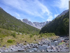
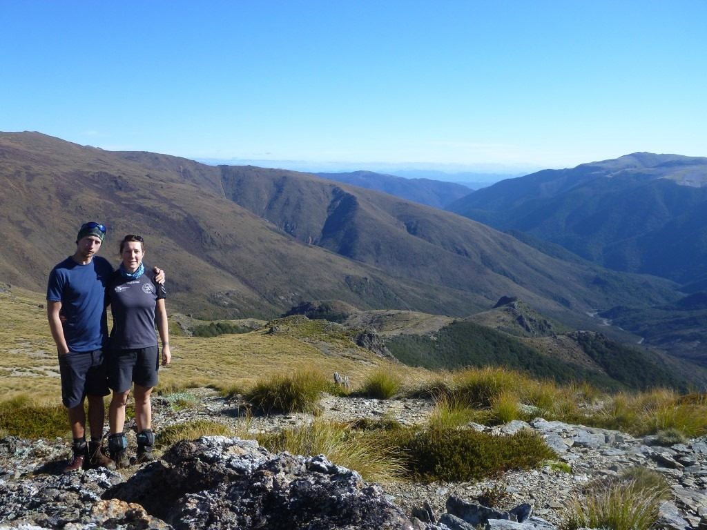
The day was sunnier than the previous, lot of blue sky and views on the surrounding mountains.
A much nicer day to walk down the valley
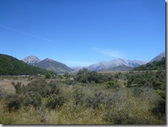
Mount Wilson, on the left
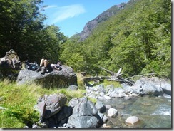
Having a rest, walking through the river is exhausting
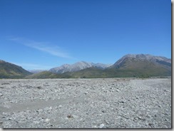
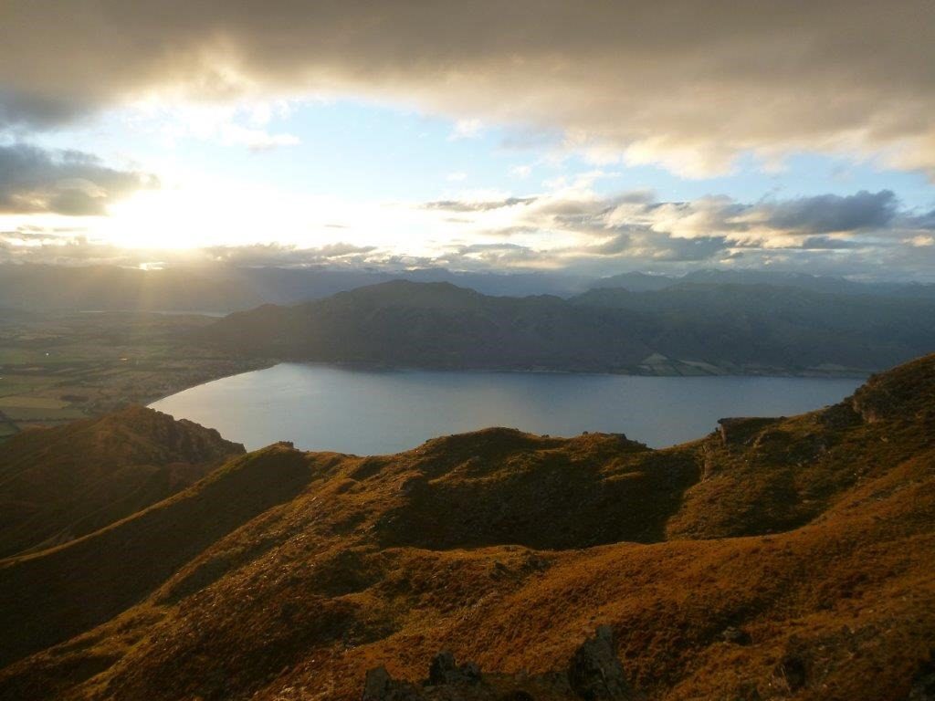
Back to the bottom of the valley, meeting with Hawdon river and more view around the Waimakariri River valley
Here are the details, numbers and map of the hike:

Votre technique pour traverser les rivières ressemble à une danse folklorique, c’est rigolo! mais il ne faut pas lésiner avec la sécurité. En tout cas, merci pour les coordonnées, j’avoue être très tentée mais ça fait un peu loin pour nous pour demain, on va peut-être finalement rester sur notre projet initial de ski à Courchevel…Merci pour les belles perspectives qui rendent bien la sensation de grands espaces.
Merci pour tes commentaires!! je vois bien que tu es toujours la première à lire au sujet de nos balades… 🙂 MAis oui tu viendras un jour!