
A week of work in Christchurch, adjacent to a weekend, then taking a leave day or 2… meeting with Anzac day (public holiday on 25 April here) and there we go! Multi day tramp in the Arthur’s Pass area.
Taking advice from Daniel once more, even having a late start, we made it to the start carpark (State Highway 73, near the bridge over Waimakariri River) and packed our bags. We left around 2pm, and walked along the Waimakariri River until Carrington Hut. The track alternated between river bed and forest. The walk was fairly easy, and required a couple of river crossing. We walked passed sunset time, then crossed the river once more before it got too dark and had to turn on our headlights just before finding the hut, around 6pm. Good timing!


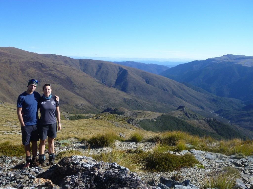
In the morning, we chilled and had a slow start. Most of the other trampers were already gone when we had breakfast, and almost the big hut to ourselves! We kept walking upstream, along the river, when we crossed it under a cable way. We walk up Taipoiti River, which was a lot of scrambling through water and rocks. The weather was clear, the water was really cold and made us not want to cross it multiple times. But the track was not marked and we had to find our own way with a lot of trial and error.
We made it to a beautiful water fall, then out of the river bed to walk up to Harman Pass. unfortunately at this stage we were completely in thick fog, and couldn’t see anything of landscape, as we could barely see the next orange poles (track markers).


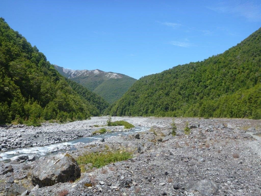
The track started to descend really steeply to Mary Creek. We had lunch when we got out of the fog, with a view on the valley in front of us, the valley that we were going to hike down.


A couple more river crossings and scrambling down hill until we found a proper track for the last kilometre, to lead us to the next hut, Julia Hut.
We made it there around 4pm and had plenty of time to relax, have a hot drink and explore the surroundings to enjoy the natural hot pools.


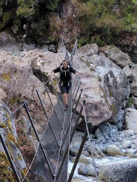
Swing bridge before Julia hut. A little tricky and unstable, but better and safer than swimming!
The next day, we got up really early and started walking at 7am. Our plan involved hitchhiking at the end of the day and we wanted to ensure a lift or a plan B before dark (about 6pm)!


The sun is slowly coming out from behind the mountains when walking down along Julia Creek and then Taipo River. Taipo River had one pretty long swing bridge to cross, which again, wasn’t really reassuring but safer than the strong current in the river. The sun then eventually got to us in the valley and make the walk really nice.


Before reaching Dillon hut, we followed some tips from 2 volunteers who we met on the track earlier: avoiding the cable way (which was more about avoiding a 250m steep climb and then descent) just before using the cable way. But for me, as I understood what a cable was, I was more than happy to try skipping it! A cable way is literally a cable above the river, where a little kart (box) hangs, with a lever to make it go from one side to another. Not hard to guess, I am way more comfortable with the idea of getting wet feet to cross the river with my feet on the ground!
Following the indications, and some well marked fresh steps in the fine gravel on the river side, we crossed and followed the red path marked on the picture below. Note that this was possible because the river level was not above our knees a anytime. The current is too strong to attempt this if the level of the water is higher.

From the cable way, the walk was really easy all the way to the road. A couple of unexpected hills had to be passed on the last part before the highway – which was fairly hard after this long day (about 25 km!). We made it to the highway at about 3pm, which was a good timing to start hitchhiking back. (we were about 55km away from our rental car!)


We waited only for about 20 min when a tourist stopped to take us with him and talked about things to do around the area. He was stopping a couple of times for lookout and view points, which we enjoyed as well!


We got to our car and drove back to Christchurch, had a shower and a good night of sleep before flying back to Auckland the next day.


More details / the numbers here:

Eh bien ,tu aurais emmené ta tante avec toi, tu aurais bien ramé sur le pont suspendu et dans les passages de câbles. Je ne suis pas très forte à ces petits jeux là, même si ça met du piment à la balade. Ah oui, le brouillard, on connaît bien ici aussi, à l’automne. Ca met une jolie ambiance.
mouais le brouillard… vachement moins bonne ambiance après des heures de grimpette dans le ruisseau bien froid… 🙁 et que c’était censé être le meilleur moment de nos 3 jours!! Ben j’étais pas très rassurée sur les ponts, mais en tout cas quand même beaucoup mieux que dans le courrant fort de la rivière (où d’ailleurs, un jeune y est resté une semaine avant qu’on passe là bas… ça fait réfléchir et les ponts sont bien rassurants quand même! Va bien falloir convaincre maman de toute façon, il y a un pont prévu pour la rando de Noël… hihi
Ah oui la visualisation est bien mieux ! Effectivement les vitesses font des trucs un peu bizarres… Je pensais que tu avais un sous-traitant dévoué pour tableau, je trouve qu’il n’est pas très cool de ne pas t’aider plus, mais en même temps si c’est lui qui t’a formée il t’a bien formée (et tu comprends vite !)
Allez, bonnes balades !
Oui le sous traitant aide un peu… 🙂 je fais la mise en page, je dis “je veux ça” et pouf c’est magique ça apparaît!! 🙂 non je fais un peu quand même 🙂 mais ça commence à ressembler de plus de enplus à ce que je veux moi!