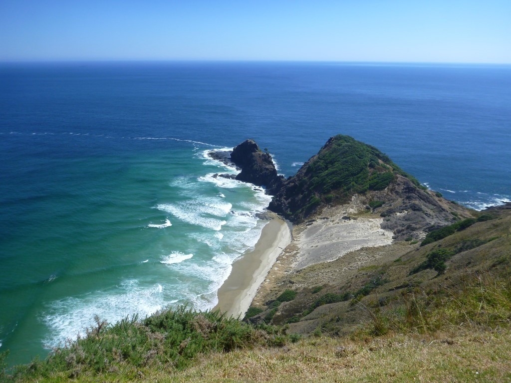
A couple of days off from work for both of us, the envy to see something else of the North Island, the urge to go hiking and tramping for me, going to the northern most point (or almost – at least the one accessible to the public) of New Zealand and going to a warmer area for Alex… It got organised: Te Paki Coastal Track for us!!
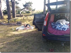
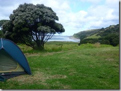
We left on Friday 25th, drove about 5 hours to Rarawa beach, where we stayed on a beautiful campsite near a stream, behind a dune, a few minutes away from a white sand beach. We enjoyed being back “on the road” with Apteryx and living out of what we packed in the car. Well, of course we forgot a couple of things, but it did feel like we never stopped doing that (even though it is about 10 months that we finished our long NZ road trip)! We got a bit fancier because we could fit our spare double mattress in the back of Apteryx and sleep on it. We also bought camping chairs a couple of months ago but we forgot them (we use them in our bed room to store our clothes… we kind of forgot we had them!)
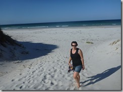
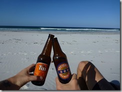
We hung around at the beach for a while, feeling like it’s holiday!
Hanging around at the campsite and on Rarawa beach
This is how Christmas looks like here! And the full moon…
The plan for our hike:
Day 1: Leave the car at Waitiki Landing (red dot) and walk to Kapowairua (16km – 3,5 hours)
Day 2: Walk to Tapotupotu Campsite (1+2 = 19km, 8,5 hours)
Day 3: Walk to Twilight Beach Campsite (3+4+5+6+7 = 18km, 7 hours)
Day 4: Walk to Te Paki Sand Dune (11km, 4,5 hours) + walk back to the car (9km, 2 hours)
All these distances and times were prepared with the official DOC (Department Of Conservation) information. We knew there was a chance we could be a little faster but we didn’t count on it too much.
So, as planned, we left Apteryx at Waitiki Landing, a complex with a restaurant, a camping, tour operator, convenience store, fuel station… Well, it is a really convenient spot, right on the main road, close to the turn off to the start of the hike, and they charge $5 per night to keep our car.
Our backpacks packed, we walked to the turn off and started hitch-hiking to Kapowairua / Spirits Bay. This was a 16km trip on a gravel road. We planned our day that we would have to walk it, but we tried to hitch-hike anyway. And it worked! A car already pretty full (except for the trunk) took us to the next intersection, where we got really lucky and had another 9km lift down to the campsite. This was way easier than we thought, we arrived at our campsite at noon. Perfect timing for lunch on the Te Horo Beach!
Arriving at the beach, Spirits Bay – Lunch on Te Horo Beach
Instead of hanging around doing nothing the whole afternoon, we decided to do a bit of our hike of the next day, and sleep at a small campground in between. So we left, and started walking behind the dunes (way easier than on the sandy beach).
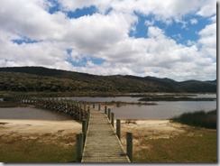
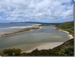
It was a pretty long walk, until we reached a nice board walk to pass Waitahora Lagoon. Then the track went into the forest and became a bit more exciting: nice views over the lagoon and the beach, birds singing in the trees, a little bit of shade, green grass…
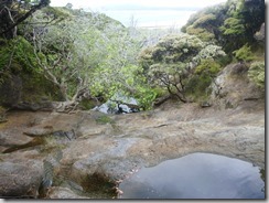
After 2,5 hours, we arrived at the Pandora Campground. Basic campsite, all what we needed: water in a tank, long drop toilets, a flat spot for the tent, rock pools in the nearby river to get washed… Perfect! Even mosquitos… thousands of mosquitos!
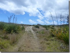
Te Horo Beach – The track behind the dunes
Board walk over the Lagoon – The Lagoon from the hill
Te Horo Beach and Waitahora Lagoon – The rock pools about the campground
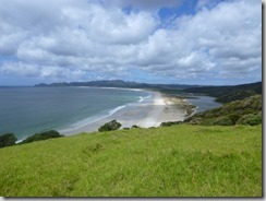
Pandora Campground – Whangakea Beach at the campground
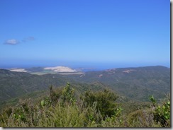
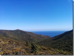
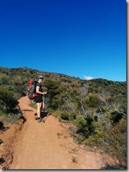
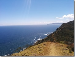
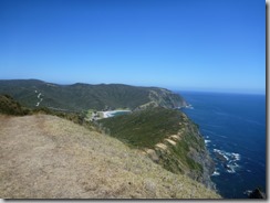
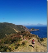
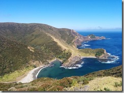
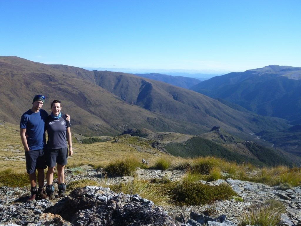
After a long night (the mosquitos forced us to go to bed early, it was pretty safe inside the tent), we got up with the sun and packed our bags for a short hiking day (5,5 hours was the plan). The hike started pretty steeply up to 200m high. We reached the top of the ridge in about one hour and started passing people already from the other campground. We talked a bit and realised they were hiking not more than us, about an hour as well! Well, the day was going to be a really short hiking day… We enjoyed the views, already guessing the west coast and the sand dunes. Stunning views on the east coast as well, the Te Horo beach and our starting point.
So, we arrived at Toapotupotu Bay Campsite before lunch time! (it took us 2,5 hours instead of 5,5…) We had a dip in the ocean and in the stream along the campsite. Then we spent the whole afternoon under a tree, doing nothing. We had to stay in the shade because the sun was way too hot and the risk of sunburn was pretty high despite the sunscreen… well, we waited and went out only after 5pm, to walk around and swim again to get refreshed (and cool down our sunburns that we got anyway).
To the west, from the ridge – And to the east
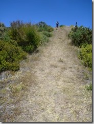
Walking on the ridge – And they still don’t know what windy tracks are…just straight!
Along the coast, Te Horo beach on the background – Pretty steep in some places! (yes I am walking on this track… if you click you might see me!)
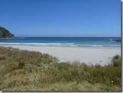
Tapotupotu Bay campsite down there! – Tapotupotu Beach
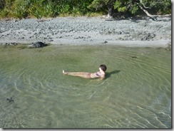
Fresh water stream along the campsite – Dinner cooking…
The campsite was crowded (there is a road access to it), but surprisingly pretty quiet! Our tent was right on the beach anyway, the waves made quite a bit of noise all night long. We got ready pretty quickly in the morning, to try to hike the steep part to the Cape Reinga before the sun was too high. Well, the sun was hot anyway and there was not too much wind… but it was beautiful. We went up again to the top of the ridge, then down to Sandy Bay and up again steep and straight to Cape Reinga.
We met with a lot of tourists there, of course, the site is accessible by road. Some of them were surprised that we had our big backpacks and walking sticks and commented about it. Well, as I said, tourists!
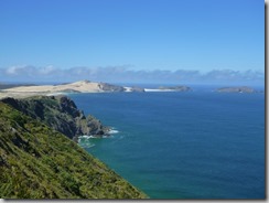
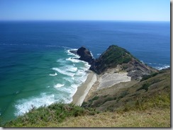
We had a nice break up there, took a lot of pictures and enjoyed the views. East, west, north… and easy to take the “blue picture” up there! Blue sky, blue ocean… nice.
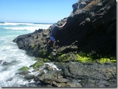
After a while, we headed down to Te Werahi Beach. As we were well prepared, we knew that the following 4,5 hours hike would be in the sun, without shade at all. The track goes along beaches, up sand dunes and trough low bushes… so we found a tree in the middle of the track before the beach and sat in its shade to enjoy our lunch. We went down to the beach, started walking along the rocks (as it was high tide) and got stuck pretty quickly as there was a 2 meters wall to climb down… with the risk of getting wet and pushed with the waves… we turned around and checked the maps and track descriptions but nothing was mentioned about this. We also tried to go through the bushes above the beach, but there was no track either… Well, we analysed the water movement for about 15 minutes and decided we could go down anyway and pass each-other the backpacks… which worked quite well in the end, watching for the waves and waiting for the right moment.
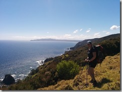
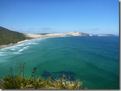
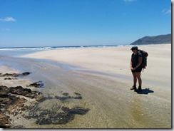
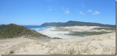
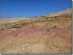
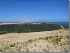
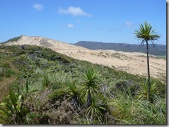
We walked along Te Werahi beach for a long time, until Te Werahi Stream that we had to cross. We still didn’t want our shoes to be wet so we managed to jump over the stream without taking our shoes off. Then was the big sandy/rocky Herangi Hill to climb. There was some hard sand to make it easier. From there, the views were amazing: beaches, forest hills, swamps, streams, red rocks, bushes, cliffs… everything was there! (except snow though)
We kept walking along the west coast, though bushes and along twilight beach. At the end of the beach, right above us, there was the campsite that had a great view above the beach.
This day was a real hiking day, about 7,5 hours walk! And really hot: I was dripping a lot, I don’t think I can remember anytime when I ever sweated that much
At the campsite, we met a Kiwi guy starting the Te Araroa Trail (the track that crosses the whole country from north to south) on his own (planning to do it all in once) with a really light backpack; and a couple of German people leaving in Auckland, about 60 years old, with huge backpacks, planning on doing the Te Araroa Trail a couple of days per year, starting where they left the previous time. They had so much gear and equipment with them… a big tent, a whole set of pots (including a coffee pot), a big sponge for the dishes, proper food (fresh chicken, buns, and cookies included) and so much else that I don’t know about I guess! Their plan is to finish the Te Araroa in 15 years (about 200km per year)… nice idea!
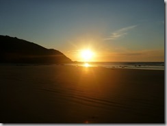
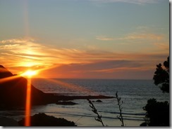
This campsite was quiet, there were not too many people, because it had no road access. We had a beautiful sunset, and enjoyed the mosquitos again!
Walking up and down to Sandy Bay – Sandy Bay
Sandy Bay – Cape Maria van Diemen and Motuopao Island
Cape Reinga (Te Rerengawairua) – Blue
From Tarawamaomao Point, Te Werahi beach – The rocks passing at high tide
Te Werahi beach
Te Werahi Stream – Te Wehari Beach from Herangi Hill
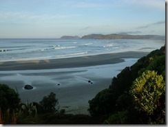
Herangi Hill – Looking south, Twilight beach in the background
From the top of the hill
Te Herangi Hill – Twilight beach at sunset
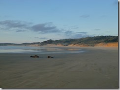
Twilight beach sunset
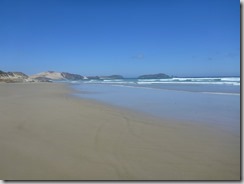
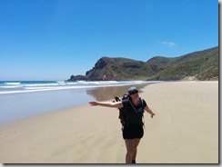
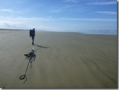
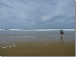
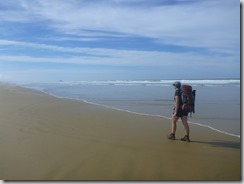
For our last day, we decided to start way earlier, after our really hot previous day. So we did! but still, we should have left at 4 am to avoid the heat. It was a really hot walk to Scott Point. We walk down some really steep stairs to put our feet on Ninety Mile Beach… where we walked for 1,5 hours to Te Paki Stream. The walk was a little long and boring along the beach… we met a penguin (dead, unfortunately, he was the breakfast of 2 seagulls), played around with shells and dried algae, jumped on one foot to trick our foot prints in the sand…well, we did a lot of smart things…
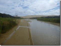
We walked up Te Paki stream, along the Te Paki dunes (giant 140 metres high sand dunes). We reach the car park of the dunes (tourists come up to surf or sled down). We started walking and hitch-hiking along the gravel road, to go back to our car. After about 1 km, an elderly kiwi couple with their long van stopped and took us along, and dropped us off almost next to our car. That was great!
Twilight Beach in the morning – The track to Scott Point
Bad weather on the east coast – Ninety Mile Beach!!
Ninety Mile Beach – Alex being bored and playing with algae
Walking on 90 Mile Beach
Te Paki stream, one of the vehicle access to the beach (yes we tried to hitch-hike, no success)
We relaxed a bit, then hit the road and drove back to Auckland.
We had more hiking plans for the rest of the holiday: climbing the Mount Taranaki with a couple of friends, but the weather got really bad and we cancelled. Storms and rain for a couple of days made us stay home! We enjoyed the new years’ party with people we didn’t know before (yes, Couchsurfing again), right in the city, at the bottom of the sky tower.
New year’s Fire work on the Skytower in Auckland!
HAPPY NEW YEAR EVERYBODY!
As usual, all the pictures here: Photos of my trips




Ah ça c’est cool, vous avez transformé Apteryx en promesse de vacances… Si ça tombe même en restant devant chez vous vous pourriez vous sentir en vacances :o)
Sinon je suis un peu déçue du Te Werahi Stream, nous quand on l’avait pris il avait fallu enlever chaussures, short… et un peu plus pour le traverser sans mouiller nos affaires. Vous avez mieux choisi votre horaire par rapport à la marée.
Jolies photos et chouette récit, merci !!
Ouais ouais on ira pas dormir dans la voiture chez nous quand même… on va pousser jusque là! Et ben Te Werahi Stream on l’a traversé 1h et demie après la marée haute… on n’avait pas très bien prévu justement car au nord de la plage on s’est retrouvés un peu coincés… vous y est peut être allés après des pluies! (nous c’était limite sécheresse apparemment)
C’est bien joli, tout ça, contente de voir un nouvel article et de voir que vous gardez le rythme. Pour une fois que nous n’assistons pas aux délires culinaires de notre Agnès, on salive cette fois devant les beaux paysages.
Oui, et ça ca fait garder la ligne au moins 🙂